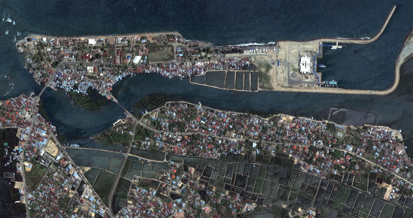
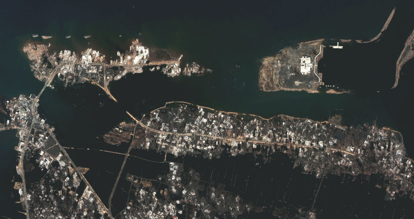
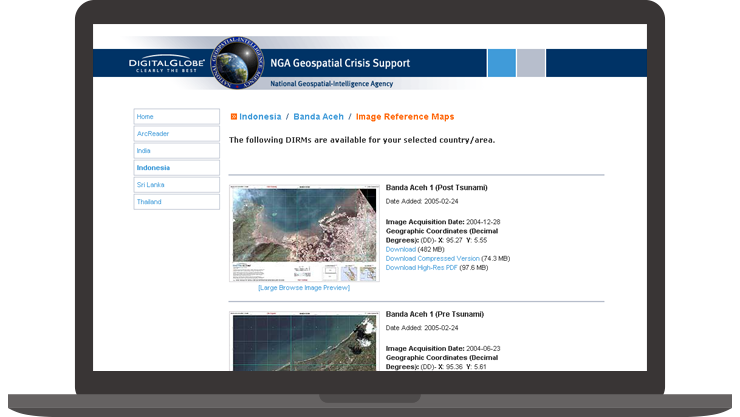
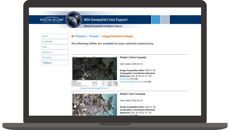
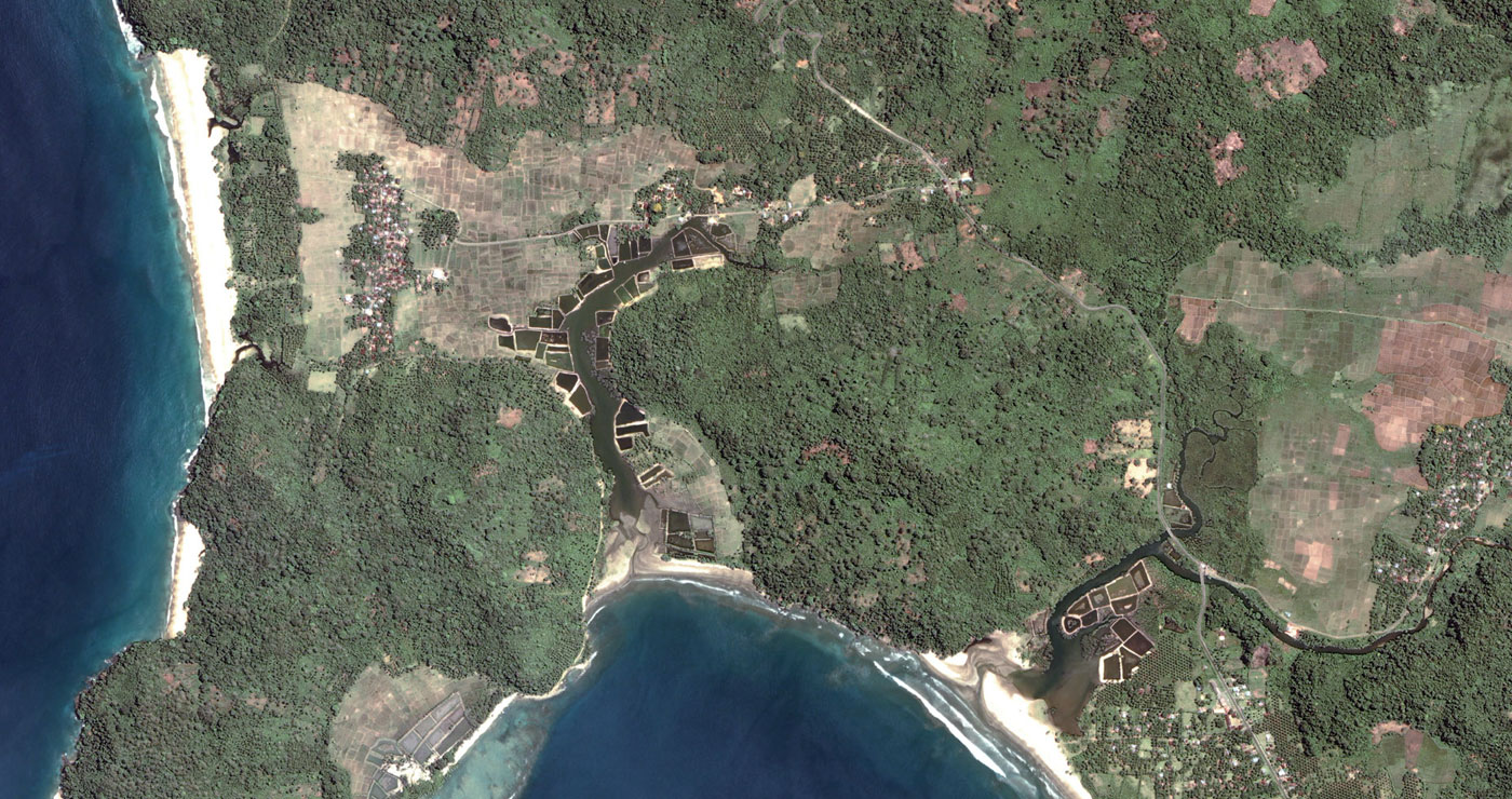
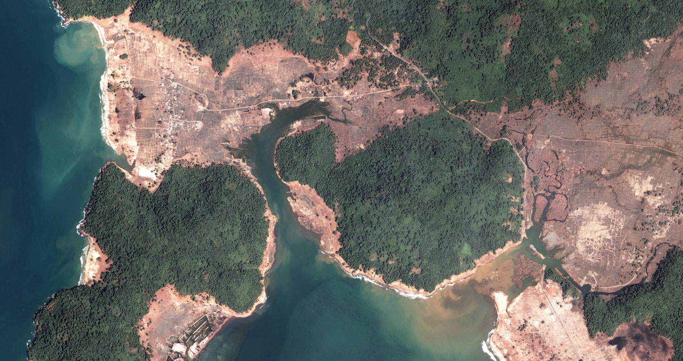
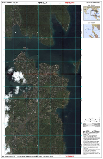
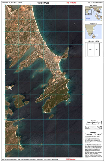
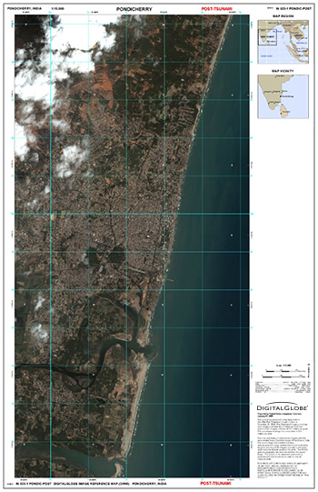
01. The Challenge

Quickly provide a web-based satellite imagery reference tool for rescue and aid workers following the Indian Ocean Tsunami. The tool must provide extensive imagery and information on the countries most affected: India, Indonesia, Sri Lanka, and Thailand.

02. The Solution

Develop a lightweight, website map catalog containing before and after Image Reference Maps derived from archival and newly collected satellite imagery. Image Reference Maps are made available in multiple formats for download via FTP.

03. The Result

The website catalog and associated Image Reference Maps were developed and made available within four days following the tsunami. Imagery and data within the Image Reference Maps provided valuable information for rescue, navigation, and damage assessment.

Client: National Geospatial-Intelligence Agency

Role: Designer and Front-end Developer

Before | After: North Banda Aceh, Indonesia

Website Map Catalog

Before | After: South Banda Aceh, Indonesia

Image Reference Maps